Devil’s Lake State Park draws more visitors than any other Wisconsin state park, and the bluffs explain it. The spring-fed lake sits in a bowl at the base of 500-foot quartzite ridges on both sides, and the hike to the top of either bluff puts you at the edge looking straight down at the water below and out across the Baraboo Hills. It’s not a casual walk. The main routes involve sustained climbing over quartzite boulders, with CCC-built stonework marking the steepest sections. This guide covers the main trails, when to go, what the parking situation looks like, and what you need to know before you arrive.
What Makes Devil’s Lake Different
The geology here is unusual. The quartzite bluffs at Devil’s Lake are some of the oldest exposed rock in Wisconsin, pre-dating the last glaciation by hundreds of millions of years. When the glaciers advanced through the region, they deposited debris at both ends of the valley, plugging the drainage and creating the closed basin you see today. No streams flow in or out. The lake is fed entirely by underground springs, which keeps the water clarity high even in summer when thousands of swimmers are in it.
The result is a park that looks nothing like the rest of central Wisconsin. Devil’s Lake sits in the middle of the Baraboo Hills, a cluster of ancient ridges that resisted glacial erosion because the quartzite was hard enough to survive it. The terrain is sharper and the rock older than anything else within three hours of Chicago or Milwaukee. The views from the bluff tops are wide enough that on a clear day you can pick out the Baraboo Hills ridgeline in multiple directions.
The park covers about 10,000 acres in total, but most hikers concentrate on two features: the East Bluff on the east side of the lake and the West Bluff on the west. Both rise roughly 500 feet above the lakeshore. Both have multiple routes to the top. The East Bluff gets the majority of visitors; the West Bluff offers similar terrain and views with shorter waits at the trailheads.
The East Bluff Trails
The East Bluff Trail is the most traveled route in the park. It starts from the south shore parking area and climbs the east face of the bluff via CCC-built stone steps and boulder scrambles, reaching the ridgeline in about 0.8 miles one-way with roughly 400 feet of elevation gain. The CCC stonework, built in the 1930s, integrates into the quartzite boulderfield so naturally that most hikers don’t notice it until they’re looking for it. At the top, the East Bluff Trail continues north along the ridge for another mile and a half before descending back to the north shore.
The Balanced Rock Trail branches off the main East Bluff route and passes Balanced Rock, a large quartzite boulder perched on a narrow base that’s stood in place since the glaciers retreated. It sits about halfway up the climb and is worth a short stop. From Balanced Rock, you continue up to the ridgeline or descend back to the shore.
For a full loop, take the East Bluff Trail up from the south shore, walk the ridge north, and descend to the north shore via the Grottos Trail, then return along the lakeshore. The total loop runs about 4 to 4.5 miles with significant boulder scrambling in both the ascent and parts of the ridgeline. The trail is rated moderately difficult. It isn’t technical, but the boulder sections require using your hands for balance, and the footing is uneven throughout. Sturdy shoes aren’t optional here.
The West Bluff Trail
The West Bluff sees fewer hikers than the East, which means shorter waits at the trailhead and more room on the ridge. The terrain is similar: quartzite boulderfields, CCC stonework, and a ridgeline trail tracking the west side of the lake from south to north. The views look east across the lake to the East Bluff, which gives you a different angle on the bowl and the water below.
Access is from the west side parking areas along WI-113. The West Bluff Trail runs about 2 miles along the ridgeline, with connector trails at both ends. A full west-side loop from the south parking, up and along the ridge, and back down runs 3 to 3.5 miles. The ascent is similar in character to the East Bluff: you’re climbing over and between quartzite boulders for the first 0.6 to 0.8 miles before the ridgeline levels out.
If you want to do both bluffs in one visit, budget a full 5 to 6 miles and 3 to 4 hours of active hiking. The descent on both sides is hard on the knees, especially if you push through the boulder sections quickly.
The Ice Age Trail Through the Park
The Ice Age Trail runs through Devil’s Lake as one of its anchor segments. The trail traces the edge of the last glaciation across Wisconsin, from Potawatomi State Park at the tip of the Door Peninsula to Interstate State Park on the Minnesota border, covering about 1,200 miles total. The Devil’s Lake segment is one of the most scenic and most-visited on the entire trail.
The trail enters the park from the south off the Sauk Point Road trailhead and routes across the East Bluff before descending to the north shore and heading west toward the Baraboo Hills. The segment through the park runs about 5 miles. Day hikers use pieces of it as part of the bluff loops. Thru-hikers on the full Ice Age Trail count the Devil’s Lake segment as one of the best stretches in the south-central section of the state.
The Ice Age Trail Alliance website maintains current trail conditions and segment maps if you want to explore the Baraboo Hills corridor beyond the park boundary.
Swimming, Rock Climbing, and What Else Is Here
The hiking is why most people come to Devil’s Lake, but it’s not the only draw. Two swimming beaches sit at opposite ends of the lake: the north shore beach near the main contact station, and the south shore beach near the south entrance. Both are staffed with lifeguards in summer. Water temperature stays cold into June and reaches the upper 70s°F by late July in warmer years. The closed basin means no river current or significant wave action, which makes for calmer swimming conditions than Lake Michigan beaches.
Rock climbing is allowed on the south-shore bluff faces, and Devil’s Lake is one of Wisconsin’s most active climbing areas. Routes range from easier slab climbs near the base to more advanced crack and face routes higher on the wall. Chalk use is permitted. On a summer weekend, you’ll see a dozen parties on the wall at once.
Camping is available inside the park. The campground books out months ahead for summer weekends, particularly July and August. If you’re visiting then and want to camp, reserve on the Wisconsin DNR website well in advance. Spring and fall shoulder dates open up with less lead time.
For a broader look at what the region has to offer alongside Devil’s Lake, the Wisconsin Dells & Central Wisconsin region guide covers the full area. To compare Devil’s Lake with other top parks across the state, the Best Wisconsin State Parks to Visit post covers six standout parks with full trail and facility detail.
When to Go
Spring (May and early June): Wildflowers bloom on the bluffs through May, and the park is quieter than summer. Trail surfaces can be muddy on the lower sections after rain. The lake is cold for swimming but the hiking is excellent for clear sightlines before the full leaf canopy closes in.
Summer (July and August): Peak season. Both bluffs draw significant traffic from mid-morning on, and the south shore parking lot often fills by 9 a.m. on summer weekends. Arriving by 7:30 or 8 a.m. solves most of the parking problem. The lake is swimmable, the campground runs at capacity, and the park is at its busiest.
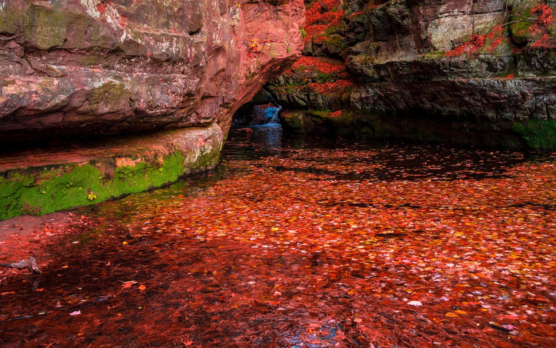
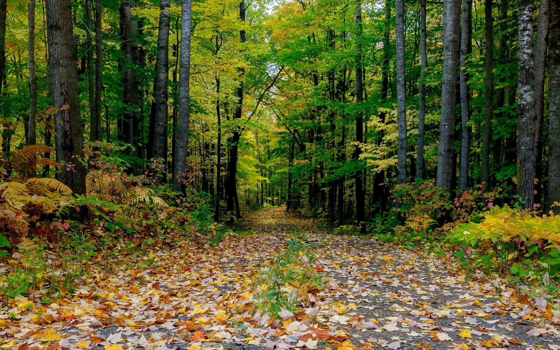
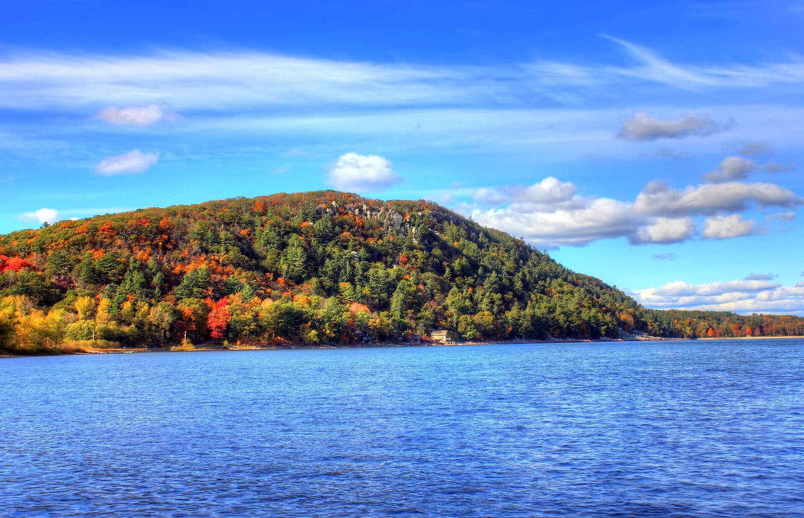
Fall (late September into mid-October): The Baraboo Hills are among the better fall color areas in southern Wisconsin. The hardwood ridges turn orange, yellow, and red in the first two weeks of October, and the views from both bluffs frame that color against the lake below. Crowds ease slightly from summer peaks but fall weekends still draw strong traffic. Late-afternoon light on the bluffs is worth timing your hike around.
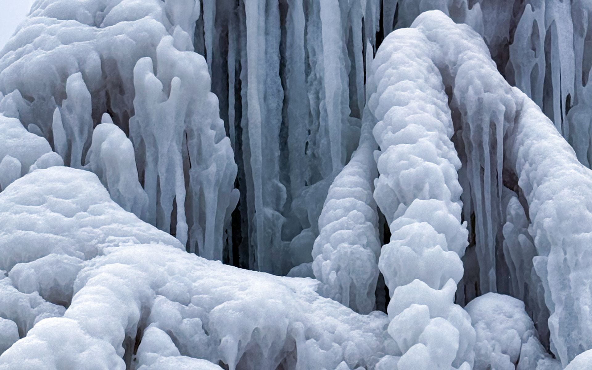
Winter (December through March): Swimming beaches close and the campground goes into limited operation, but the trails stay open. The bluffs are walkable on snowshoes or with micro-spikes when there’s snow. The lake can freeze in cold winters and the park allows ice fishing when conditions are safe. For a full seasonal breakdown across the state, see the Best Time to Visit Wisconsin guide.
Getting There, Parking, and Where to Stay
Devil’s Lake State Park sits 3 miles south of Baraboo via WI-123 (South Lake Road). From Madison, take US-12 north to WI-123 south; the drive runs about 50 minutes. From Milwaukee, take I-94 west to US-12 north, then WI-123 south, roughly 1.5 hours. From Chicago, count on 2.5 to 2.75 hours via I-94/I-90.
The park has three main parking areas: the north shore lot (largest), the south shore lot (closest to the East Bluff trailheads), and the Steinke Basin lot (for a quieter approach to the West Bluff and interior trails). All three require a state park vehicle sticker. Daily passes run roughly $11 for out-of-state plates; annual passes are about $38 for non-residents and cover unlimited park visits statewide. Verify current rates with the Wisconsin DNR before you go.
The south shore lot fills fastest on summer and fall weekends. If it’s full when you arrive, the north shore lot usually has space, and the walk along the lakeshore to the East Bluff trailheads adds only about a mile round trip.
For lodging, Baraboo is 3 miles north and has a range of hotels, motels, and B&Bs plus the Circus World Museum for a rainy-day option. Wisconsin Dells is about 15 miles northeast on I-90/94, where waterparks and year-round family resorts make a natural base if you’re traveling with kids. The Wisconsin with Kids guide covers combining the Dells and Devil’s Lake into a family weekend. For detailed park hours, admission, and what to expect by season, the Devil’s Lake State Park place page has the full rundown.
For help planning the full trip, the Wisconsin hiking guide covers trails across the state alongside Devil’s Lake.