The Short Answer
Rent a car when you land, or drive up from Chicago or the Twin Cities. That covers nearly every Wisconsin scenario. The exceptions are Milwaukee and Madison themselves, both of which have walkable cores and reliable ride-share coverage, but even there a car opens up the day trips, supper clubs, and shoreline that make the trip worth the effort. The best starting move is to pick your region first: see where to stay by region in Wisconsin to figure out which part of the state you're basing yourself in before you plan your route.
If you're flying in, book your rental car at the same time you book your flight. Peak weeks in July, the first two weekends of October during fall color, and holiday weekends in the Dells area can run rental inventory tight at Milwaukee's Mitchell International (MKE) and Dane County Regional in Madison (MSN). Waiting until a week out is a gamble.
Key Routes and Drive Times
The main north-south spine is I-94 from the Illinois border through Milwaukee, then I-90/94 branching northwest toward Madison and continuing north to the Wisconsin Dells. Milwaukee to Madison runs about 1.5 hours on I-94. Madison to the Dells is roughly one hour via I-90/94, which makes the Dells an easy day trip from the capital or a natural second stop when driving up from Chicago.
For Door County and the Bay, head north on I-43 from Milwaukee to Green Bay, about two hours, then take US-141 and WI-57 northeast to Sturgeon Bay at the base of the peninsula. Total time from Milwaukee is 2.5 to 3 hours. The peninsula itself runs another 60 miles to the tip at Gill's Rock, and the bayside villages of Egg Harbor, Fish Creek, Ephraim, and Sister Bay each add 15 to 20 minutes as you work north. Washington Island requires a 30-minute ferry from Northport Pier.
The long haul is Bayfield and the Apostle Islands, about 4.5 to 5 hours north of Madison via US-51 and then US-2 along the Lake Superior shore. The final stretch on US-2 between Ashland and Bayfield is scenic and worth the time, but it adds up. From Milwaukee, budget closer to 6 hours. La Crosse on the Mississippi runs about two hours west of Madison on I-90, a manageable leg if you're looping through the Driftless Area. Minocqua in the Northwoods sits roughly 3 hours north of Madison on US-51.
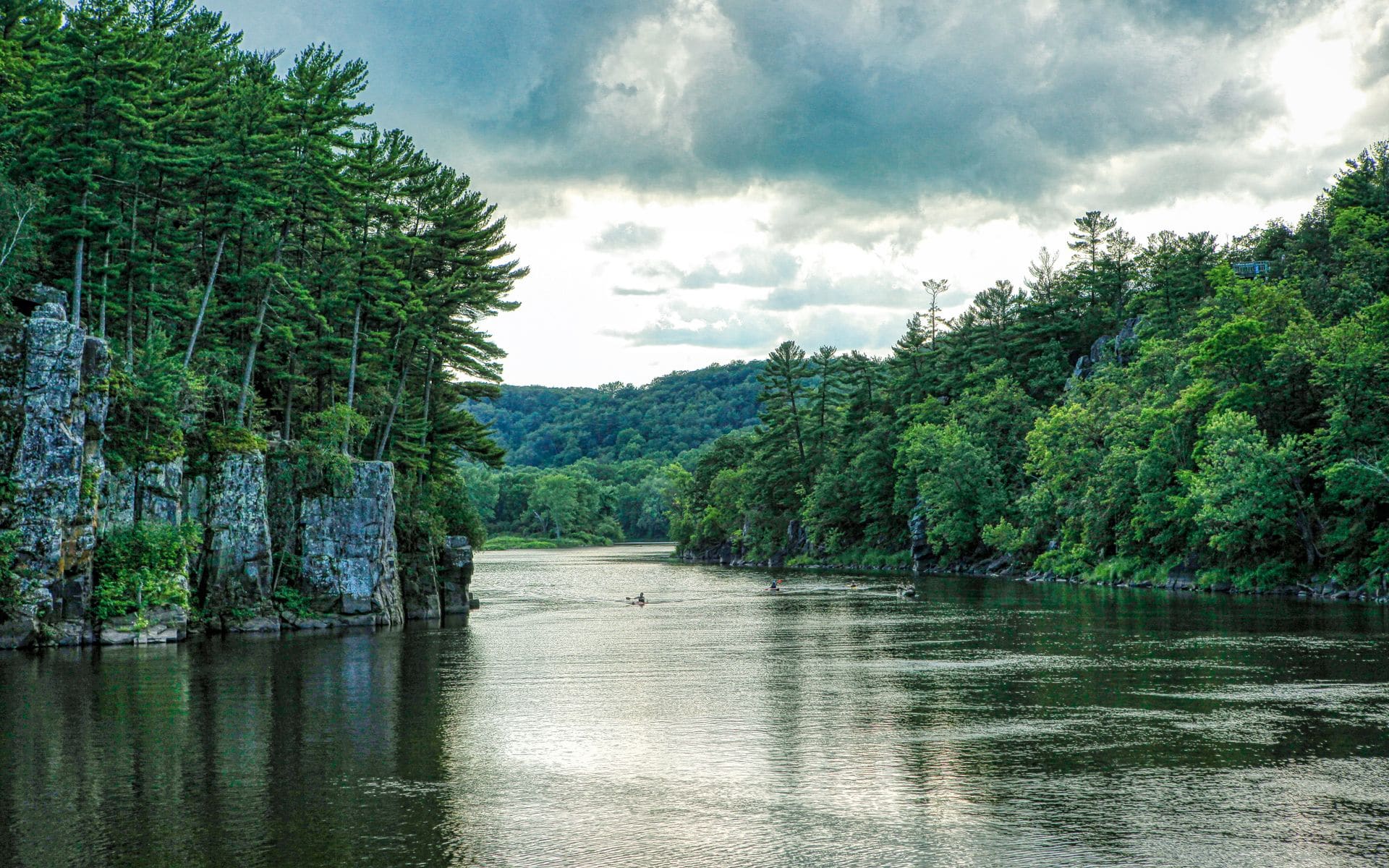
The Driftless Area and its county roads are the biggest surprise for first-time visitors. WI-35, the Great River Road, hugs the Mississippi bluffs from La Crosse south to Prairie du Chien, and the twisting ridge roads in between move slowly. Plan for 45 mph average speeds on the scenic county routes, not highway pace.
Flying In and Renting a Car
Milwaukee Mitchell International (MKE) has the most direct routes from around the country, all the major rental companies on-site, and an easy location: 20 minutes from downtown Milwaukee, about 90 minutes from Lake Geneva, and roughly 2.5 hours from the Dells. Dane County Regional (MSN) in Madison is the right call if you're starting in the capital region, heading to the Dells, or pointing toward the Driftless Area. Green Bay Austin Straubel (GRB) is the most underused option for Door County travelers: at about 45 minutes from Sturgeon Bay, it shaves a full hour off the drive compared to flying into Milwaukee.
Smaller airports at La Crosse (LSE), Appleton (ATW), and Central Wisconsin near Wausau (CWA) handle regional connector flights but see fewer direct routes from major cities. Chicago O'Hare (ORD) is the practical entry point for many Midwestern visitors: Lake Geneva is about 90 minutes north, and Milwaukee is under two hours. Minneapolis-St. Paul (MSP) is the logical northwest gateway for travelers heading to Hayward, Ashland, or the Northwoods.
For timing your visit and understanding what road conditions and park crowds look like across seasons, the best time to visit Wisconsin guide lays it out month by month. The Wisconsin Travel Guide home page also links out to region-specific planning pages if you want to drill into a specific part of the state.
Amtrak and Transit Options
Amtrak's Hiawatha runs seven times a day in each direction between Chicago Union Station and Milwaukee's Intermodal Station on St. Paul Avenue, with a ride time of about 1.5 hours and fares typically in the $25 to $45 range (estimate). That's a legitimate option if your whole trip is Milwaukee itself, but the Hiawatha is the end of the line. It does not continue to Madison, the Dells, Green Bay, or anywhere else in Wisconsin, so a rental car or ride-share is still required for anything beyond Milwaukee's city limits.
Within the cities, Milwaukee County Transit System (MCTS) buses cover the city fairly well, and Madison Metro handles the capital area. Both have smartphone apps and run decent frequency on weekday routes. Neither network has routes to Door County, the Dells, Bayfield, the Northwoods, or the Driftless Area. For an urban-only Milwaukee or Madison trip, you can manage without a car using ride-share plus transit. For any multi-destination Wisconsin itinerary, you cannot.
Van and charter services do connect a handful of resort destinations, and some Dells resorts run shuttle routes within the Dells area, but those are narrow use cases. There is no statewide tourism transit network.
Practical Tips for the Road
Wisconsin's interstates, I-94, I-90, I-43, and US-41, are well-maintained. The two-lane county roads leading to Driftless ridges, Northwoods lake accesses, and the smaller Door County villages narrow fast and have occasional frost heaves after a hard winter. GPS works fine, but cell coverage drops on US-2 between Ashland and Bayfield and on forest roads north of Rhinelander. Download offline maps for Vilas County and the Bayfield Peninsula before you leave the highway.
Winter driving from December through March adds real planning. The roads north of Wausau on US-51 can ice over quickly after a storm, and snowmobile trails legally cross county roads throughout the Northwoods, so slow down at marked crossings. All-season tires handle most of the state in a normal winter, but a January or February trip to Minocqua, Eagle River, or Bayfield is safer with winter-rated tires. Check the Wisconsin DOT's 511 system or the 511wi.gov site before heading north. County highway departments are generally good at clearing main routes within 24 hours, but backroads take longer.
Gas prices across most of Wisconsin run within $0.10 to $0.15 of the national average. Remote towns, including Bayfield, the islands, and smaller Northwoods villages, typically run $0.25 to $0.50 more per gallon (these are labeled estimates). Fill up in Wausau before heading north on US-51, and top off in Ashland before the last stretch to Bayfield. On the Door Peninsula, prices in Sturgeon Bay are noticeably lower than in Ephraim and Sister Bay.
Wisconsin state parks require a vehicle admission sticker at the gate. Daily passes run approximately $8 for Wisconsin residents and $11 for nonresidents (labeled estimates), with annual stickers at roughly $28 and $38. Devil's Lake State Park near Baraboo and Peninsula State Park in Door County both fill their parking lots by 10 a.m. on summer Saturdays, so arrive early or plan a weekday visit. State park camping and some trail use areas at the busier parks can be reserved in advance through the Wisconsin DNR's reservation system.
For what to bring on your trip, including layers for unpredictable Great Lakes weather and gear for outdoor time, see what to pack for Wisconsin. For choosing where to base yourself to minimize driving time between destinations, see where to stay by region.
Frequently asked questions
Do I need a car to visit Wisconsin?
For almost any multi-stop Wisconsin trip, yes. Milwaukee and Madison can be navigated without a car, since both have ride-share and decent transit networks within the city. But Door County, the Wisconsin Dells, Bayfield, the Northwoods, Devil's Lake, and the Driftless Area have no meaningful public transit. Ride-share apps work in Milwaukee and Madison but become unreliable in smaller towns. If you're spending your whole trip in one city, you can manage without a car. If you're moving between destinations, rent one.
How far is Milwaukee from Door County?
Plan on 2.5 to 3 hours from Milwaukee to Sturgeon Bay at the base of the peninsula, via I-43 north to Green Bay and then WI-57 northeast. Add 30 to 45 minutes to reach Fish Creek or Ephraim in the middle of the peninsula, and another 20 minutes beyond that to Sister Bay and Ellison Bay near the north end. Washington Island adds a 30-minute ferry crossing from Northport Pier.
Is there a train from Chicago to the Wisconsin Dells?
Amtrak's Hiawatha runs Chicago to Milwaukee in about 1.5 hours with fares in the $25 to $45 range (estimate), but there is no passenger rail continuing from Milwaukee to the Dells. From Milwaukee you would rent a car and drive roughly 1.5 hours northwest on I-94 and I-90/94. The Dells has no train station and no direct bus service from Chicago.
What is the best airport to fly into for Door County?
Green Bay Austin Straubel (GRB) is the most convenient commercial airport for Door County, about 45 minutes from Sturgeon Bay. It has fewer direct routes than Milwaukee's Mitchell International (MKE), so check fares for both. If you fly into MKE, Door County is about 2.5 to 3 hours by car via I-43 and WI-57.
How long does it take to drive across Wisconsin?
North to south, from the Illinois border near Kenosha to Ashland on Lake Superior, is about 6 hours of driving on US-51 and I-90. East to west, from Marinette on the Michigan border to La Crosse on the Mississippi, takes about 4 to 4.5 hours on US-8 and US-10. Wisconsin is a real driving state, so build in rest stops and meal time.