Copper Falls State Park sits on the edge of the Northwoods in Ashland County, about 8 miles north of Mellen off WI-169, and its headline is two waterfalls tucked inside a basalt gorge. Copper Falls and Brownstone Falls drop through some of the oldest exposed rock in Wisconsin, carved over time by the Bad River and Tyler’s Fork cutting through billion-year-old lava flows. The main trail loops past both falls in about 2.4 miles. This guide covers what to expect on the trails, how the falls compare, what else is in the park, when to go, and how to get there.
What Makes Copper Falls State Park Different
Most Wisconsin state parks offer one of two things: great bluff views or good lake access. Copper Falls offers a gorge, which puts it in a category of its own in the northern part of the state. The Bad River and Tyler’s Fork converge inside the park and, in doing so, have carved deeply into the ancient Keweenawan basalt that underlies this part of Ashland County. That basalt is part of the same Midcontinent Rift geology that produced the copper-rich formations of Michigan’s Upper Peninsula and Minnesota’s North Shore. You’re hiking through rock that formed roughly 1.1 billion years ago.
The gorge itself is narrow enough that you can see straight down to the water from the viewing platforms on the rim. The rock faces are dark, streaked with mineral staining, and in most seasons the contrast between the white water and the black basalt is sharp. It’s a different kind of scenery from Devil’s Lake’s quartzite bluffs or the sandstone gorges at the Dells.
Copper Falls State Park covers about 2,400 acres and sees far fewer visitors than the big-name parks in the south. That means manageable trail traffic even on summer weekends, shorter waits at overlooks, and a campground that doesn’t fill as fast. If you’re combining a trip through the Lake Superior and Bayfield corridor with a stop at the park, it works as a natural day-trip from Bayfield (about 50 miles to the north) or as the anchor of its own overnight.
The Waterfalls: Copper Falls and Brownstone Falls
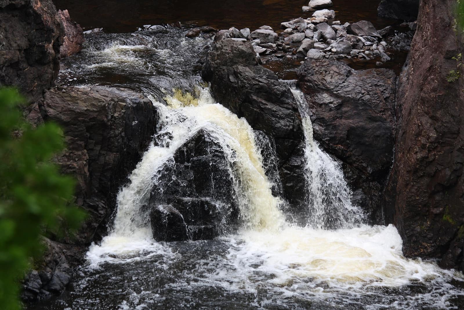
There are two main waterfalls and they sit about 0.4 miles apart on the trail loop, each on a different waterway. Copper Falls is on Tyler’s Fork, just before Tyler’s Fork joins the Bad River. It drops roughly 29 feet over a ledge of basalt in a single, powerful curtain before the water churns into the gorge below. The falls are widest and loudest in spring and early summer when snowmelt and spring rains push the flow high. By late August in a dry year, the volume drops, but the gorge itself stays scenic.
Brownstone Falls, just downstream, sits on the Bad River itself and falls about 30 feet at an angle into a wide pool. It takes its name from the brownstone rock exposed at the base of the falls. The viewing platform for Brownstone is positioned above and to the side, giving you a different angle than Copper Falls’ more head-on view. Most visitors find Brownstone the more photogenic of the two because of the composition: you’re looking at the falls with the gorge walls framing both sides.
Neither waterfall involves any scrambling or off-trail walking to see. Both have maintained viewing platforms and railed overlooks. The gorge path between them runs along the rim, so you’re looking down at the Bad River from above for most of the section connecting the two falls.
The Trails at Copper Falls
Doughboys’ Nature Trail
The Doughboys’ Nature Trail is the main loop. At about 2.4 miles, it takes most hikers an hour and a half to two hours depending on how long you linger at the overlooks. It starts from the main parking area near the park entrance, loops past Copper Falls, follows the gorge rim to Brownstone Falls, and returns through a mix of forest and open ground. The footing is generally solid, with some root-covered sections in the wooded stretches. There’s no boulder scrambling involved. Families with kids who can walk 2 to 3 miles handle it without trouble.
A short spur off the main loop leads to a lookout tower. The climb to the top of the tower is worth the effort: on a clear day you can see north across a wide stretch of the Chequamegon-Nicolet National Forest to the Lake Superior hillline on the horizon. The tower view gives you the forest context that the gorge trail itself doesn’t show.
North Country National Scenic Trail
The North Country National Scenic Trail passes through Copper Falls State Park as part of its 4,600-mile route from North Dakota to New York. The segment here is one of the more rugged stretches in Wisconsin, running through the national forest terrain adjacent to the park. Day hikers use it to extend their time in the park and get off the loop trail. Long-distance walkers on the full trail count Copper Falls as a resupply stop in the upper Midwest section. The North Country Trail Association website maintains current conditions and segment maps for the Wisconsin portion.
If the Doughboys’ Trail loop leaves you wanting more, the North Country Trail adds miles in either direction with a different character than the gorge trail: longer forested sections, fewer overlooks, and more solitude.
Swimming and Camping at Loon Lake
The gorge and waterfalls tend to overshadow the rest of the park, but Loon Lake is worth knowing about. It sits north of the main gorge area and has a swimming beach with lifeguards in summer, a boat launch, and a picnic area. The lake is smaller and quieter than the big resort lakes in the Northwoods to the south, with no motorized watercraft that draw a crowd. It’s a reliable option for swimming on days when the bugs are out and you want to cool off after the trail.
Camping at Copper Falls is in two areas: one near Loon Lake with electric sites for RVs and trailers, and a more rustic area with tent-only sites in the woods. The campground books well ahead for summer weekends but is easier to get into than the campgrounds at Devil’s Lake or Peninsula State Park. Check the Wisconsin DNR reservation system well in advance if you’re targeting July or August. Spring and fall weekends are significantly easier to reserve. The park also has a few cabins that sleep four; those require booking months out for summer use.
A vehicle admission sticker is required to enter, the same as every Wisconsin state park. Verify current rates on the Wisconsin DNR website before you go.
When to Go
Spring (May into June): The falls are at their loudest and most forceful in spring when the snowmelt has run and spring rains keep the Bad River high. The gorge views are especially good before the leaf canopy fills in completely. Trail surfaces can be muddy in the lower sections after rain. Bugs, particularly blackflies, are a real presence in late May and early June in the Northwoods; bring insect repellent.
Summer (July and August): Peak season, but the park doesn’t overwhelm the way the big southern parks do. Trail traffic is manageable most mornings. Loon Lake is swimmable, the campground runs full, and the falls settle into their summer volume. Get to the main parking lot early on weekends to avoid a wait.
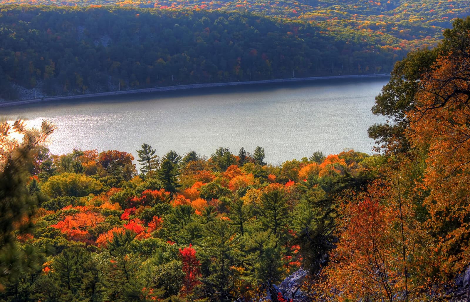
Fall (late September into mid-October): Ashland County is deep in hardwood Northwoods, and the fall color here typically peaks in late September to early October, a bit earlier than the southern part of the state. The gorge is particularly striking in fall: the dark basalt, white water, and orange-and-yellow canopy above the rim come together in a way that summer doesn’t offer. Trail crowds ease from their summer peak. This is the best single season to visit if you can only choose one.
Winter: The park is open but the main trail can be icy. Some visitors hike the loop on snowshoes or with micro-spikes. The falls don’t freeze solid, but ice forms on the gorge walls and the spray zone around the falls, which creates a completely different visual from the summer visit. Dress for cold and let someone know your plans, as the park is remote in the off-season.
For a broader look at how to time a Wisconsin trip around weather and seasons, the best time to visit Wisconsin guide covers the full year.
Getting There, Parking, and Where to Stay
Copper Falls State Park is on WI-169, about 8 miles north of Mellen in Ashland County. The most common approach routes:
- From Duluth, MN: Take US-2 east, then WI-13 south to Mellen, then WI-169 north. About 1.5 hours.
- From Wausau/central Wisconsin: Take US-51 north to US-8 west, then north on various county roads to Mellen. About 2.5 hours.
- From Milwaukee/Madison: Budget 5 to 5.5 hours each way. From Madison, take US-51 north, then connect to US-8 and head west toward Mellen. The drive puts the park firmly in overnight-trip territory from the south.
The main parking area is near the contact station at the park entrance. A second lot serves the Loon Lake area. Neither lot is large, so arriving early on summer and fall weekends matters. The park doesn’t have an equivalent of the “full lot before 9 a.m.” situation at Devil’s Lake, but it can reach capacity on busy fall-color weekends.
For lodging, Mellen has a handful of small motels. Ashland, about 25 miles west on US-2, is the largest nearby town and has a wider range of hotels. Bayfield, roughly 50 miles north on US-2 and WI-13, is worth considering if you’re pairing Copper Falls with the Apostle Islands and the Lake Superior coast. The town itself makes a good base for the whole far-north corridor; the Bayfield guide covers what’s there.
Copper Falls fits naturally into a Northwoods loop that takes in the Lake Superior shore, the Apostle Islands sea caves, and the forested interior. It’s one of the less-visited parks in the state, which means the trail experience is better than at the marquee parks to the south. To compare it against other top state parks in Wisconsin, the best Wisconsin state parks guide covers six standout parks with full trail and facility detail. And if you’re building a wider Wisconsin hiking itinerary, the Wisconsin hiking guide covers trails across the state.